Hiking Mount Timpanogos | Everything You Need to Know
Mount Timpanogos, affectionately known as "Timp," is one of Utah's most iconic and beloved peaks. Towering at 11,753 feet, it’s the second-highest mountain in the Wasatch Range and a rite of passage for local hikers. Whether you're tackling it for the first time or returning for the sweeping summit views, here’s everything you need to know before hitting the trail.
📍 Where Is Mount Timpanogos?
Mount Timpanogos is located in the Uinta-Wasatch-Cache National Forest, near the cities of Provo and Orem and visible throughout Utah Valley. The two main trails to the summit are easily accessible from the Alpine Loop Scenic Byway, about an hour from Salt Lake City, entering from American Fork Canyon or Provo Canyon (just past Sundance Mountain Resort).

🥾 Trail Options
There are two main routes to the summit:
1. Aspen Grove Trail (via Mount Timpanogos Trail #052)
-
Distance: ~14 miles round trip
-
Elevation Gain: ~4,901 feet
-
Trailhead: Aspen Grove, near Sundance Resort
-
Features: Waterfalls, alpine meadows, Emerald Lake, a glacier (kind of)
2. Timpooneke Trail (via Timpooneke Trail #053)
-
Distance: ~14.2 miles round trip
-
Elevation Gain: ~4,471 feet
-
Trailhead: Timpooneke
-
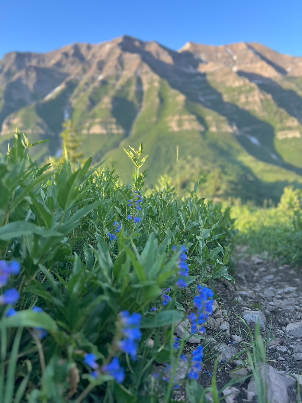
Features: Wildflowers, wildlife, waterfalls
Which to choose?
Both trails are scenic and end up joining near the summit. Timpooneke is more gradual and shaded, making it the more popular option for first-timers. Aspen Grove features more dramatic views, waterfalls, and passes Emerald Lake.
⏰ When to Hike
Best Season: July to early October
By mid-July, most of the snow has melted, wildflowers are in full bloom, and the trail is dry. October brings vibrant fall foliage, but snow can come quickly.
Start Early:
Most like to begin early (around 6-8a.m.) to avoid afternoon heat, and to allow ample time for the long hike. Some people also like to start late at night (1-3am) to catch the sunrise at the summit.
🏔 What to Expect
-
Duration: 6 to 12 hours round trip, depending on fitness and trail conditions
-
Altitude: Be prepared for thinner air above 10,000 feet
-
Water Sources: A few streams early on, but it's best to carry 3–5 liters per person
-
Emerald Lake: A beautiful glacial lake near the saddle and a great rest spot before the final summit push
-
The Summit: Offers panoramic views of Utah Valley, Utah Lake, Deer Creek Reservoir, and even the Great Salt Lake on clear days
🐐 Wildlife and Safety
-
Mountain Goats: Commonly spotted along the ridges, near Emerald Lake, and sometimes along the trail—they're usually pretty chill, but keep your distance; they can attack if they feel threatened
-
Deer: Less visible, but abide in the lower areas
- Moose: Not as common, but they're out there!
🎒 What to Bring
-
Good hiking shoes or boots
-
Trekking poles (optional, but can be helpful for certain parts)
-
3–5 liters of water
-
Electrolytes and snacks
-
Sunscreen, hat, sunglasses
-
Layered clothing (temps vary widely)
-
Headlamp (if you expect to start early start or finish late)
-
First aid kit
-
Map/GPS app (AllTrails, Gaia, etc.)
-
Emergency whistle and space blanket
🏕 Camping
-
Overnight camping is allowed in designated areas along both trails—practice Leave No Trace principles.
-
There are no fires allowed above 8,000 feet.
🚗 Parking and Permits
-
Aspen Grove Trailhead: Requires a $10 fee (American Fork Canyon Fee area) or Interagency Pass. These are good for three-day access to the canyon.
-
Timpooneke Trailhead: Located at a campground, also subject to the same $10 fee. Timed permits are now required on weekends and holidays, which can be obtained here: https://www.recreation.gov/timed-entry/10088965
-
Arrive early if possible (before 6 a.m.)—parking is limited, especially on weekends. Parking is a little less crowded on the Aspen Grove side.
💡 Local Tips
-
Hike during the week to avoid crowds.
-
Watch for snow bridges early in the season—they can collapse.
-
Download offline maps—cell service is spotty.
-
Acclimate if you’re visiting from lower elevations.
-
Leave no trace—pack out all trash and stay on the trail.
Final Thoughts
Hiking Mount Timpanogos is a challenging but incredibly rewarding experience. With a blend of alpine beauty, wildlife, and breathtaking summit views, it's no wonder this trail is considered one of Utah’s finest. Prepare well, respect the mountain, and enjoy the adventure!


Re. “Headlamp (if you expect to start early start or finish late)” — Strongly consider even if you don’t plan to finish late. Intentions of finishing before sunset are no guarantee!
The fee for parking at the trailheads is actually $10. The price increased from $6 to $10 in December of 2022 or 2023 (I can’t remember which year).
Leave a comment